 Photo: The News Wheel
You might think paper road maps or atlases are obsolete these days, but think again. Yes, you can easily get directions from your smartphone or your vehicle’s GPS system. But what if you lose your cellular data connection on a remote highway or your phone’s battery dies in the middle of your journey?
Room for Everyone: Get the details on the all-new 2021 Chevrolet Tahoe
In emergencies or inconvenient situations, it’s always nice to have a backup. Knowing how to navigate with a paper map will provide you with a little extra peace of mind. Plus, paper maps are easy to use and just plain fun to look at.
So just how do you read a paper road map? The key is understanding the different elements of a map and learning how they work together.
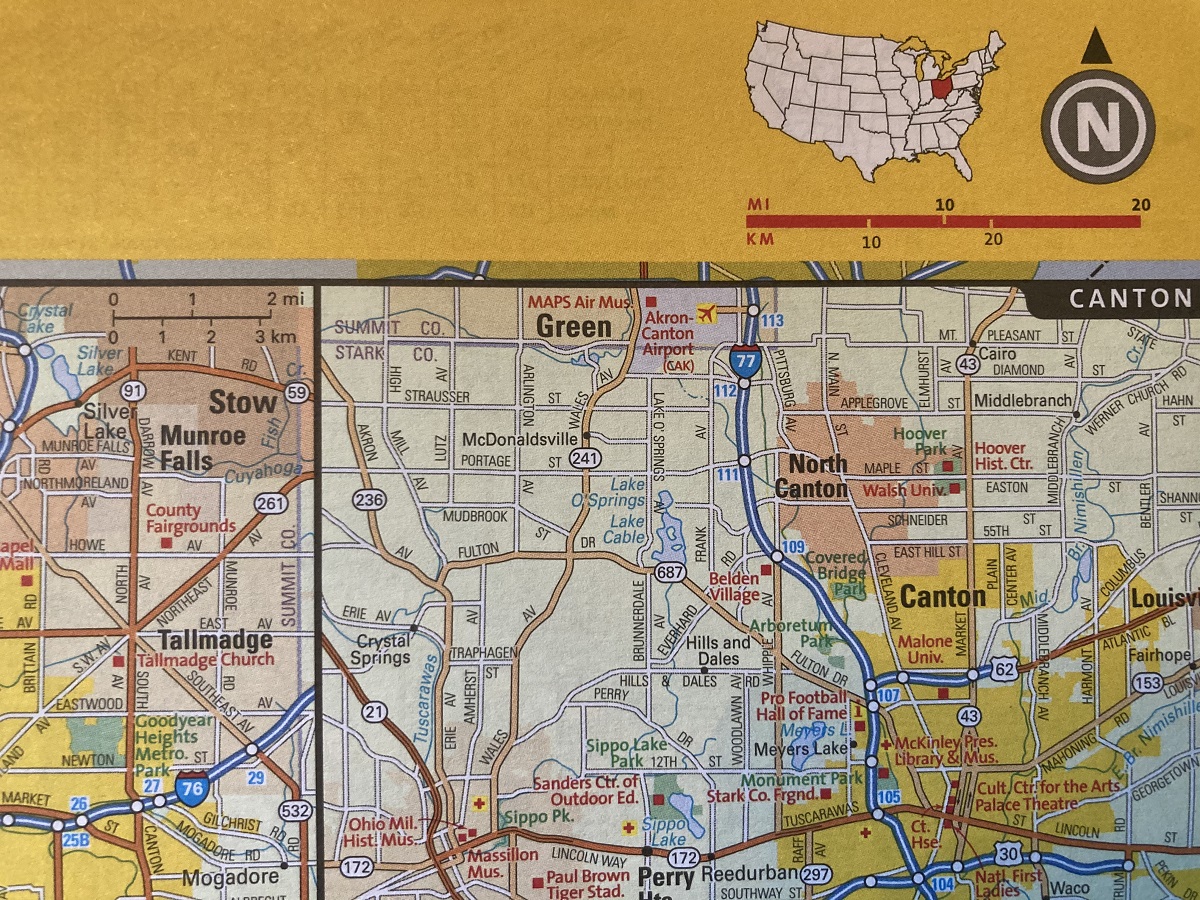
Compass rose: Nearly every paper map includes a compass rose, which is a visual feature to point you in the right direction. North is typically the top of the map. If you have a regular compass, match it with your map’s compass rose to get a better sense of which way to go.
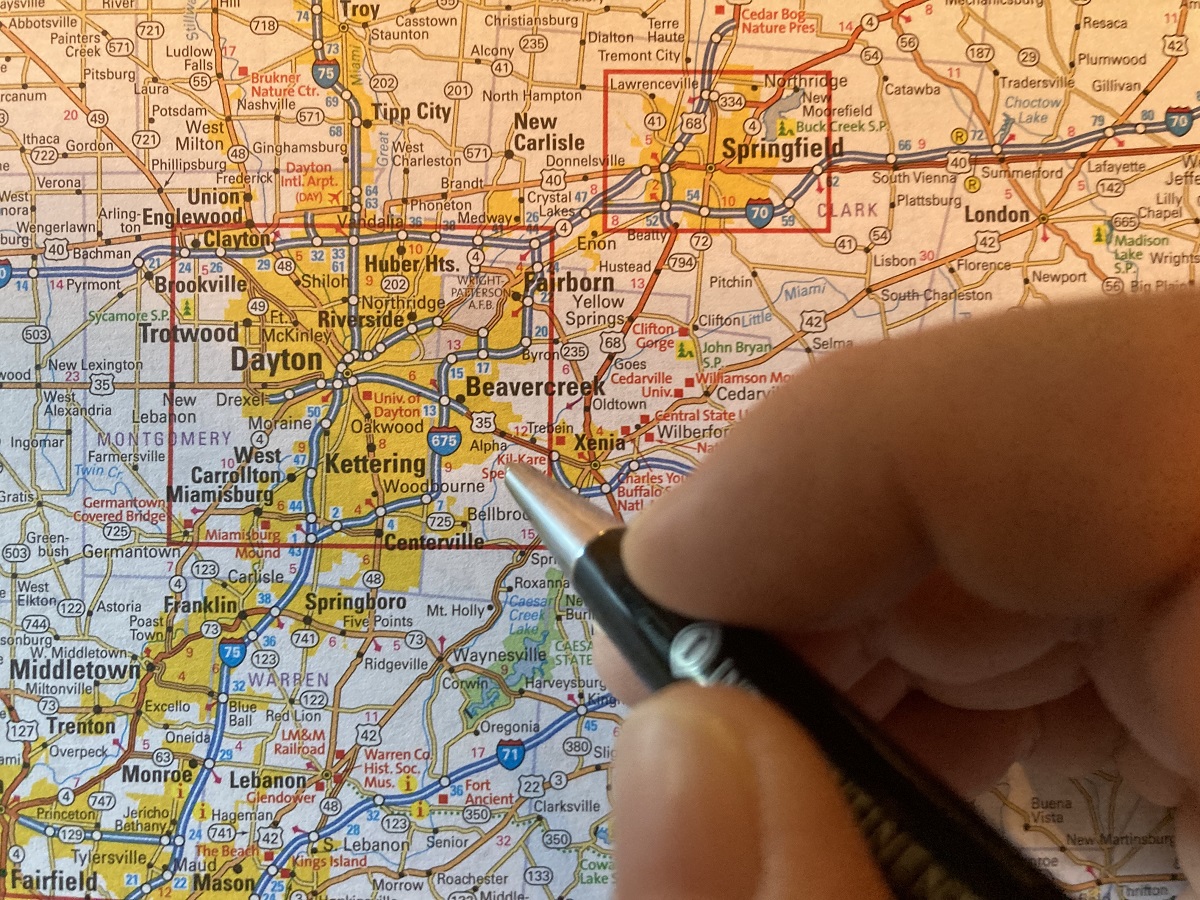
Index: Most maps include an index — an alphabetical list of locations. For example, a city map might have an index of streets and important landmarks. A state map is likely to have an index of significant towns and cities. If you’re using an atlas, the index will be in back. Next to each index entry, you’ll find a number-letter combination (like F6 or M14) that corresponds to a point on the map.
Grid: Most maps are laid out on a grid. A grid includes columns of letters along one side of the page and rows of numbers across the top or bottom. You’ll use this to find streets or cities listed in the index. Trace left or right from the letter and up or down from the number to pinpoint each location you’re seeking.
The Ultimate Family Vehicle: Learn more about the bestselling Chevrolet Equinox
 A scale line and a compass rose in a road atlas
Photo: The News Wheel
Legend: All maps have what’s known as a legend. This feature tells you what each symbol, line, and color on the map means. Using a map legend, you can tell the difference between interstate highways and back roads, identify rest stops and mountain peaks, discover points of interest, and much more.
Scale: If you’re planning a route or calculating how far you need to go, a scale is a helpful tool. All good maps have a scale: a line that’s marked in inches and labeled with distances. This represents the ratio of actual distance to distance on the map. For example, 1 inch of distance on the map may equal 20 miles of actual distance. If you use a ruler with your map to measure 6 inches from your current location to your destination, that would mean you have 120 miles to drive.
Topographic elements: Some maps, known as topographic maps, use lines and shading to show you the type of terrain you’ll be driving on. If you know how to read a topographic map, you can identify mountains, hills, valleys, and other features along your route. Even if your map isn’t a topographic map, it may use textures and colors to represent an area’s elevation changes and major geographic features.
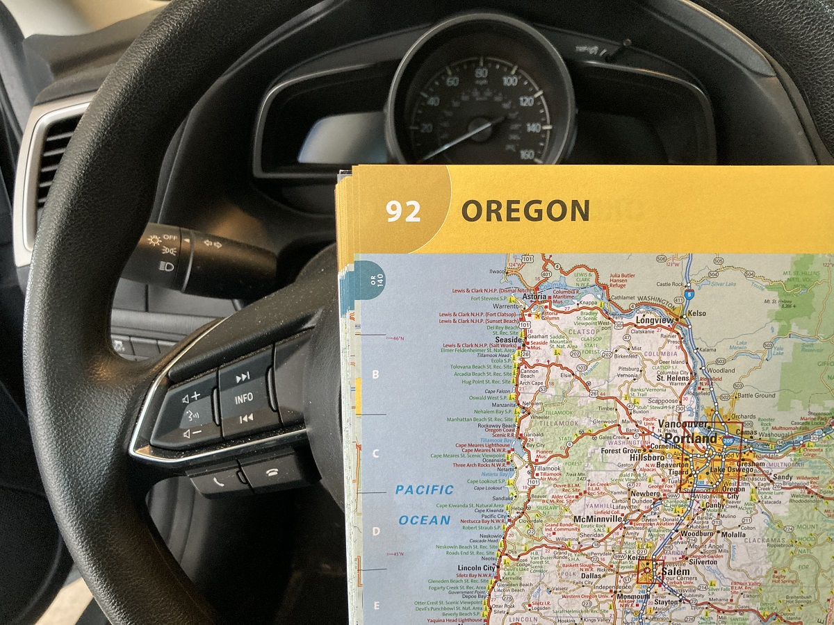 Photo: The News Wheel
Once you’re familiar with the major elements of a paper road map, you can easily identify your destination and find out how far you need to drive. Here’s what else you need to know about using a map.
Don’t navigate and drive: If you’re navigating on paper, plan your route before you leave, pull off to the side of the road to consult the map, or ask a passenger for help. Trying to read a map and drive at the same time is a recipe for distraction and disaster.
Pay attention to your surroundings: If you’re relying on a paper map, an electronic device isn’t doing any of the work for you — so don’t zone out. Stay aware of the road you’re currently driving on, make note of cross streets and exit numbers, and keep an eye out for key landmarks.
Use the right map for the job: When you travel, make sure you’re using the right kind of map. For example, a road atlas or state highway map might be the best option for a cross-country highway trip. If you’ll be exploring surface streets or back roads, get a detailed city or county map that shows minor routes in addition to major ones.
Now that you’re equipped with the basics of using a paper road map, it’s time to test your knowledge. Free yourself from your phone and hit the highway throwback-style!

A longtime editor/writer and recently transplanted Hoosier, Caleb Cook lives in Xenia, Ohio. His favorite activities are reading and listening to music, although he occasionally emerges from the heap of books and vinyl records in his basement to stand blinking in the sunlight. Once fully acclimated to the outside world again, he can be observed hanging out with his wife, attempting a new recipe in the kitchen, attending movies, walking the dog, or wandering into a local brewery to inquire about what’s on tap. See more articles by Caleb.