CARMERA human-driven sensors could pave the way for self-driving cars via @alheeti_3 on @CNET https://t.co/lzBfR07Ogy pic.twitter.com/ShqJzAVAkc
— CARMERA (@carmera) August 24, 2018
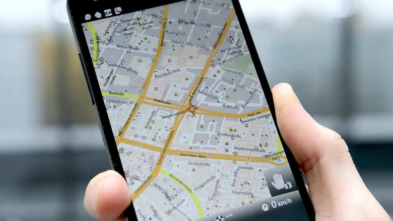
It’s important for self-driving cars to know about obstacles up ahead, and current mapping platforms like Apple Maps and Google Maps exclude this helpful function.
That’s where Carmera comes in. This new startup’s Autonomous Map delivers real-time road details to automated vehicles (AVs), to help keep passengers and pedestrians safer. It also provides a more accurate ETA for those riding in AVs.
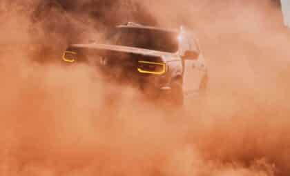
Exactly how does this platform get its information? Similar to Google Street View cars, Carmera has its own vehicle fleet equipped with cameras. The cameras extract real-time road data about potential obstacles on the road, like construction, police activity, and pedestrians. Next, the cameras transmit this data to the company’s Autonomous Map. According to CNET contributor Abrar Al-Heeti, the map takes only milliseconds to incorporate this new info and update itself.
Chevy or Ford? Discover why the 2018 Silverado beats the F-150
Using Maps to Make Autonomy Work for All and how a people-first approach to safety and accessibility, proactive data transparency and concrete commitments to economic development will help make that happen https://t.co/BhbkGIyqs0 pic.twitter.com/qYpKG8Hxo5
— CARMERA (@carmera) May 23, 2018
As of Thursday, Carmera began a collaboration with the City of New York. This will further enhance the precision and thoroughness of Autonomous Map. Carmera will give the city’s Department of Transportation information it’s gleaned from developing the platform, such as pedestrian analytics. The city, in turn, will help expand Carmera’s resources for gathering data to enhance street inventory accuracy.
The company’s allegiance with the City of New York seems like a natural next step. Just recently, the startup partnered with AV firm Voyage to provide mapping tech for its automated taxi project at The Villages® in Florida. We await more news about Carmera’s partnership with the City of New York as it takes Autonomous Map to the next level.
Family-Friendly Transportation: Meet the 2018 Chevrolet SUV and crossover lineup
News Source: CNET, Medium, The Villages
![]()
The News Wheel is a digital auto magazine providing readers with a fresh perspective on the latest car news. We’re located in the heart of America (Dayton, Ohio) and our goal is to deliver an entertaining and informative perspective on what’s trending in the automotive world. See more articles from The News Wheel.